Sabyinyo Volcano Climb: Standing Where Three Countries Meet
The Sabyinyo volcano climb offers one of Africa’s most remarkable summit experiences. The highest point sits precisely on the triple border of Rwanda, Uganda, and the DRC. At 3,634 metres, a visitor on the summit stands in all three countries simultaneously. Few mountaintops in the world share that geographical distinction.
Sabyinyo means “old man’s teeth” in Kinyarwanda. The name describes the eroded rocky pinnacles along the summit ridge. These pinnacles create a technical character that distinguishes Sabyinyo from every other Virunga volcano hike. Short scrambling sections on hands and knees make this the most engaging route in the park.
The Trail and Technical Sections
The hike begins at the Bisate trailhead on the park’s northern edge. The approach through the lower forest takes about two hours. This section passes through excellent golden monkey habitat. The trail then steepens toward the first rocky pinnacle.
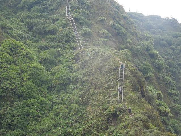
The route traverses three major summit points along the ridge. Each requires a short descent before climbing to the next. This ridge traverse gives Sabyinyo a different character from the other volcanoes. It feels like a series of smaller summits rather than one sustained climb.
The technical sections are not difficult in a rock climbing sense. However, they require comfort on exposed terrain. Visitors uncomfortable with heights may find the ridge sections challenging. The mandatory guide provides confident direction through all technical areas.
Wildlife on the Trail
The lower forest sections pass through the core golden monkey habitat. Golden monkey encounters on the approach are genuinely possible. The guides know the forest areas where monkeys most commonly range in the morning.
Buffalo are present in the forest zones of Volcanoes National Park. The guide carries a safety rifle as a precaution on all volcano hikes. Guide knowledge of current buffalo locations is important for safe trail management on the Sabyinyo approach.
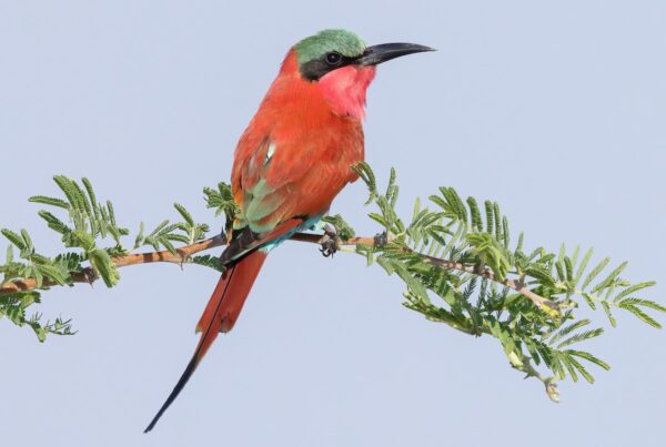
The upper Afro-alpine zone offers excellent birding for high-altitude specialists. The scarlet-tufted sunbird feeds on giant lobelias in the moorland zone. Open slopes give wide views across the volcanic landscape from a lateral perspective.
Practical Information
The Sabyinyo round trip takes six to eight hours from the trailhead. The rocky scrambling sections slow progress compared to a straightforward trail ascent. Trekking poles are useful on the descent. They need to be stowed on the hands-and-knees scrambling sections.
Trail shoes with good rubber grip perform better here than mud-focused boots. The rocky summit terrain demands traction on dry rock. Gloves protect your hands during scrambling sections. They also provide warmth on the exposed summit ridge.
The Sabyinyo permit is available through the Rwanda Development Board. The dry season from June to September gives the most reliable scrambling conditions. Rocky sections can become slippery in heavy rain. Dry conditions make the ridge traverse safer and more enjoyable.
Plan Your Sabyinyo Climb
Sabyinyo is most rewarding when combined with gorilla trekking and one other Virunga volcano hike. The three-country summit adds a geographical dimension no other volcano in the chain can match. It is a genuinely memorable addition to any northern Rwanda itinerary.
African Wild Trekkers arranges Volcanoes National Park itineraries that include the Sabyinyo triple border summit. Contact us to plan a Rwanda safari that reaches all the major Virunga experiences in a single well-structured visit.